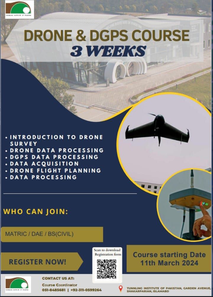
DRONE & DGPS COURSE
A drone survey refers to the use of a drone, or unmanned aerial vehicle (UAV), to capture aerial data with downward-facing sensors, such as RGB or multispectral cameras, and LIDAR payloads. During a drone survey with an RGB camera, the ground is photographed several times from different angles, and each image is tagged with coordinates.
Course Outcomes
- Introduction to Drone Survey.
- Drone Data Processing
- DGPS Data Processing
- Data Acquisition
- Drone Flight Planning
- Data Processing
